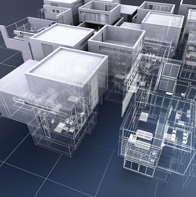
Next Synergy solution uses Revit / Archicad to convert data from the point cloud to BIM models per our client’s requirements (LOD 100 to LOD 500). Our experienced team can differentiate and distinguish differences between point cloud detailing and the actual geometry of the model.
We can efficiently convert the point cloud data received from the laser survey scans into editable CAD files. Our clients can use these solutions to modify, estimate, and share existing buildings/properties.
We are well equipped to handle high-volume point cloud data and have the IT infrastructure and equipment to handle and work on large-size point cloud data files.
Our accurately generated detailed 3D models from the point cloud help in different stages of construction, such as construction scheduling, actual construction progress monitoring, as-built modelling drawings for plans, sections, elevations, facility management, and COBie data for asset management.
Next Synergy Solution Services:

+91 99259 38887 (India)
+1 315 636 5874 (US)
+31 6 4578 3868 (Netherlands)
Next Synergy Solutions, Inc.
16192, Coastal Highway Lewes, Delaware, 19958 USA.
Next Synergy Solutions, LLP
403, 4th Floor, Gajanand Arcade, Vastral, Ahmedabad – 382418, India.
Europe (Sales Centre)
Maastricht, Netherlands
©2025 Next Synergy All Rights Reserved