


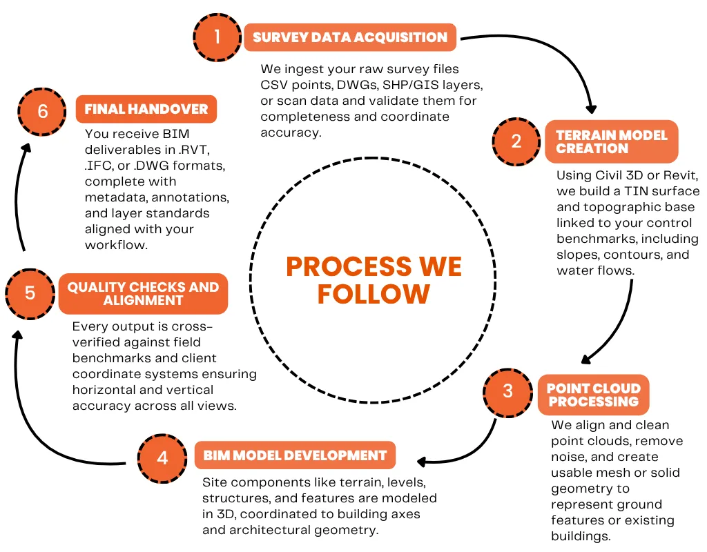
Topographic Surface Modeling
We generate BIM-ready terrain surfaces using surveyed points, contour data, and breaklines aligned with real world elevation references.
Point Cloud to BIM Conversion
Our team processes laser scan data (LiDAR) to create detailed 3D site models, buildings, or existing conditions ideal for renovations and as-built documentation.
Geolocation and Survey Coordination
All outputs are geo-referenced and aligned with your survey control points, grid systems, and GIS data ensuring seamless integration with civil and design teams.
Existing Utilities and Site Features
We model visible or surveyed site assets like roads, trees, utility lines, and drainage infrastructure for better planning and coordination.
- All
- Commercial
- Community
- Data Center
- Education
- Healthcare
- Hospitality
- Industrial
- Infrastructure
- Interior Fitouts
- Residential
- All
- Commercial
- Community
- Data Center
- Education
- Healthcare
- Hospitality
- Industrial
- Infrastructure
- Interior Fitouts
- Residential
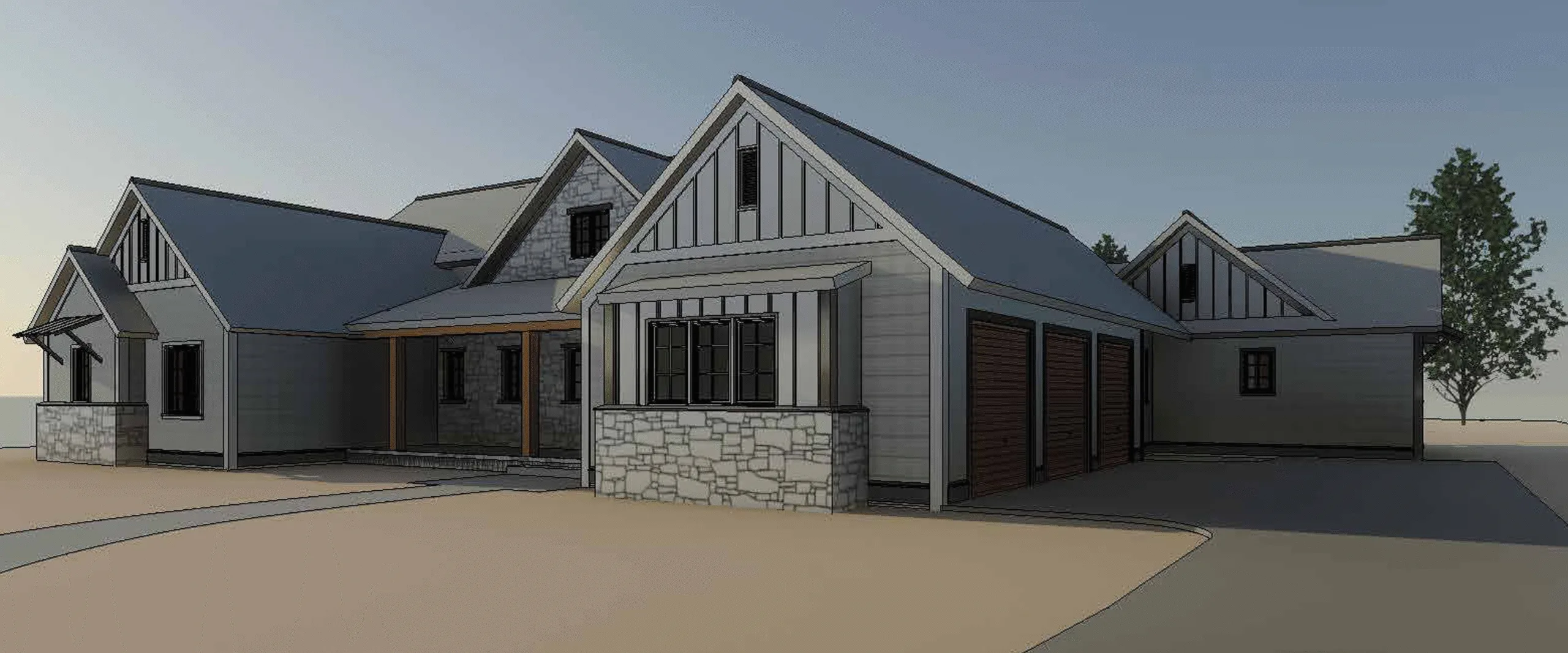
Single family residential houses
BIM Partnership for a Boutique Architectural Firm -Single family residential Houses
Healthcare Development
From Concept Design to Construction Documentation - BIM for a multi-faceted Hospital Project
Single family residential houses
BIM Partnership for a Boutique Architectural Firm -Single family residential Houses
